Vieques island map: Vieques, PR, Travel Guide and Information
Vieques Beach Map
Vieques, PR WEATHER
NOTE: WHILE THINGS ARE DEFINITELY ON THE MEND, VIEQUES BEACH OPENINGS ARE UNDER THE AUTHORITY OF THE GOVERNOR OF PUERTO RICO, PEDRO PIERLUISI, BY EXECUTIVE ORDER. PLEASE LOOK FOR OFFICIAL ANNOUNCEMENTS WHILE PLANNING YOUR VIEQUES VACATION.
Welcome to the beaches of Vieques, Puerto Rico! This is an island you can only get to from another island, but it is worth the extra effort for the beaches alone! The weather isn’t bad either, as you can see from our weather widget 🙂
All the info we provide is post-hurricane-María – the pictures & descriptions are real, all taken from 2018 to now, so nobody gets deceived by old pictures. Vieques beaches are all-natural and they literally change with the winds & the tides, so we update the individual beach pages as we re-visit them. We also add more beaches once they are opened to the public.
The map below is clickable and zoomable, and below that you can filter by various beach attributes. If you prefer the simplicity of all of them in one place, click here for the Beach List page. Enjoy!
36 Result(s)
Default
- Title A to Z
- Title Z to A
Refine Search
Search
Beach Category
Beachcombing
Family Friendly
Fishing
Swimming
Underwater Sports
Watersports
Water Quality Rating
Cleanliness Rating
Loading
Airport Beach
Category: Beachcombing, Underwater Sports
Water Quality Rating: 3
Cleanliness Rating: 2
Bastimento Beach
Category: Beachcombing, Fishing, Swimming, Underwater Sports
Water Quality Rating: 5
Cleanliness Rating: 3
Ceiba Tree Beach
Category: Beachcombing, Family Friendly, Fishing, Swimming, Watersports
Water Quality Rating: 3
Cleanliness Rating: 2
Cemetery Beach
Category: Beachcombing, Fishing, Underwater Sports
Water Quality Rating: 5
Cleanliness Rating: 3
Coconut Beach
Category: Beachcombing, Swimming, Watersports
Water Quality Rating: 5
Cleanliness Rating: 5
El Gallito
Category: Fishing, Swimming, Underwater Sports, Watersports
Water Quality Rating: 3
Cleanliness Rating: 2
La Chata
Category: Beachcombing, Fishing, Underwater Sports
Water Quality Rating: 5
Cleanliness Rating: 4
La Plata / Platita
Category: Beachcombing, Family Friendly, Swimming, Underwater Sports, Watersports
Water Quality Rating: 4
Cleanliness Rating: 4
Monte Santo Playa
Category: Beachcombing, Fishing, Underwater Sports
Water Quality Rating: 5
Cleanliness Rating: 2
Please Help Out!
When you hit the beach, please do your part to keep the beaches & island clean.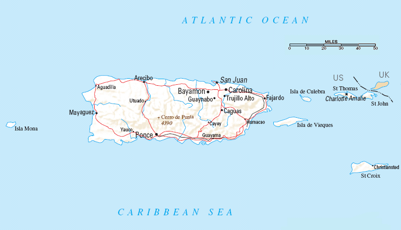 The beaches don’t clean themselves, nor does the government clean them – real people like us clean them, sometimes in organized groups and sometimes we just do it when we visit the beach. If all you do is pick up your own trash we love it, but if you want to be a hero, pick up an extra bit as you leave, even if it is just a single plastic bag or a beer can. Thank you so much for your help! (PS. You can do this on any beach you visit, worldwide!)
Sea Turtles
If you need another reason to pick up trash, here’s one: it harms our friendly & beautiful sea turtles! In Vieques, there are three major turtle species: Tinglar (Leatherback), Carey (Hawksbill), & Verde (Green), all wonderful in their own right. Nesting seasons run from March through September. So in addition to trash pickup, please stay clear of the nests, hatchlings, and nesting females, and fill in holes and sandcastles on the sand. The turtles thank you! For more information, you can visit one of our favorite groups in Vieques, Ticatove (say tee-kah-toe-vay).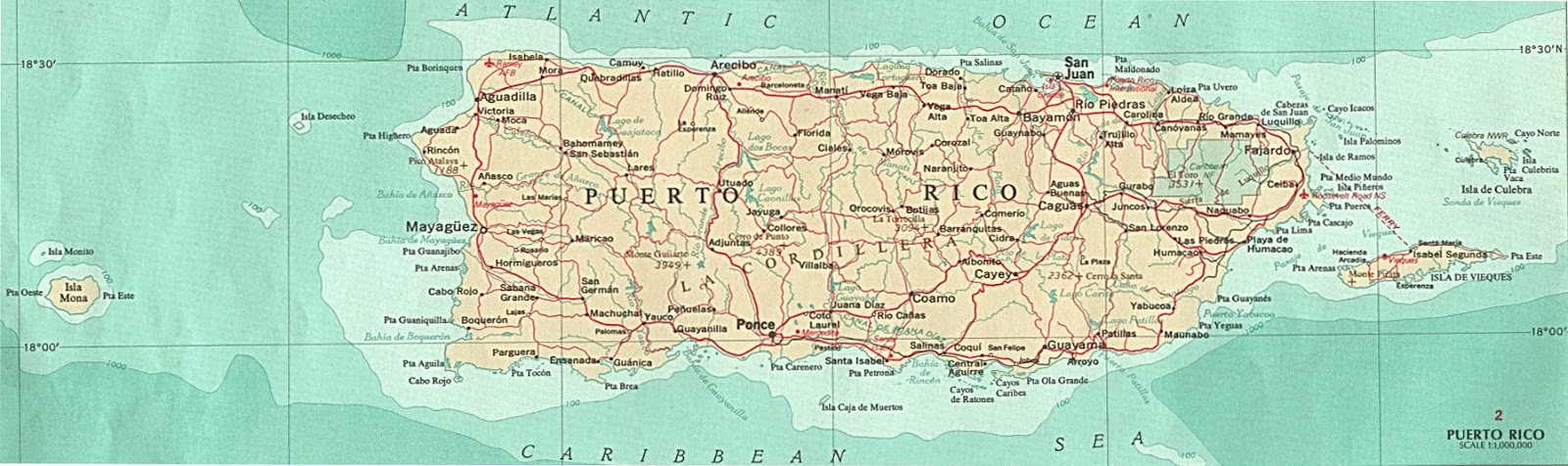
Tides
Some of the northside beaches we have listed are “short”. By that I mean there isn’t a lot of sand between the water and the jungle. And that means that a high tide can cover much or all of the sandy part with water! So for those beaches, we use this tide-forecast site and if it’s a high tide, or on its way to high tide, we simply choose another beach. A few examples of these “short” beaches are Starfish Beach, Airport Beach, Cemetery Beach, and Sea Glass Beach.
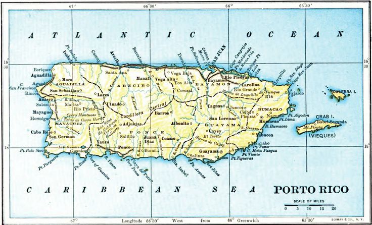
Topographic map of the Island of Vieques, Puerto Rico
About this Item
Title
- Topographic map of the Island of Vieques, Puerto Rico
Names
Geological Survey (U.
 S.)
S.)
 S.)
S.)Created / Published
Washington, D.C. : The Survey, [1951]
Headings
- –
Vieques Island (P.R.)–Maps
- –
Puerto Rico–Vieques Island
Genre
Topographic maps
Notes
- –
Relief shown by contours and spot heights.
- –
Available also through the Library of Congress Web site as a raster image.

Medium
1 map : col. ; 40 x 112 cm.
Call Number/Physical Location
G4972.V5 1951 .G4
Repository
Library of Congress Geography and Map Division Washington, D.
C. 20540-4650 USA dcu
 C. 20540-4650 USA dcu
Digital Id
http://hdl.loc.gov/loc.gmd/g4972v.ct000493
Library of Congress Control Number
- 88693720
Online Format
image
LCCN Permalink
- https://lccn. loc.gov/88693720
 loc.gov/88693720
 Additional Metadata Formats
- MARCXML Record
- MODS Record
- Dublin Core Record
IIIF Presentation Manifest
- Manifest (JSON/LD)
Part of
- General Maps
(6,681) - Geography and Map Division
(56,542) - American Memory
(513,428) - Library of Congress Online Catalog
(1,344,145)
Rights & Access
The maps in the Map Collections materials were either published prior to
1922, produced by the United States government, or both (see catalogue
records that accompany each map for information regarding date of
publication and source). The Library of Congress is providing access to
these materials for educational and research purposes and is not aware of
any U.S. copyright protection (see Title 17 of the United States Code) or any
other restrictions in the Map Collection materials.
The Library of Congress is providing access to
these materials for educational and research purposes and is not aware of
any U.S. copyright protection (see Title 17 of the United States Code) or any
other restrictions in the Map Collection materials.
Note that the written permission of the copyright owners and/or other rights holders (such as publicity and/or privacy rights) is required for distribution, reproduction, or other use of protected items beyond that allowed by fair use or other statutory exemptions. Responsibility for making an independent legal assessment of an item and securing any necessary permissions ultimately rests with persons desiring to use the item.
Credit Line: Library of Congress, Geography and Map Division.
Cite This Item
Citations are generated automatically from bibliographic data as
a convenience, and may not be complete or accurate.
Chicago citation style:
Geological Survey, U. S. Topographic map of the Island of Vieques, Puerto Rico. [Washington, D.C.: The Survey, 1951] Map. https://www.loc.gov/item/88693720/.
APA citation style:
Geological Survey, U. S. (1951) Topographic map of the Island of Vieques, Puerto Rico. [Washington, D.C.: The Survey] [Map] Retrieved from the Library of Congress, https://www.loc.gov/item/88693720/.
MLA citation style:
Geological Survey, U.S. Topographic map of the Island of Vieques, Puerto Rico. [Washington, D.C.: The Survey, 1951] Map. Retrieved from the Library of Congress, <www.loc.gov/item/88693720/>.
Interactive map of Vieques Island with navigation
Printed Maps of Vieques Island
Interactive Maps of Vieques Walking and Biking Routes
1. You can zoom in/out using the mouse wheel, and move around the map of Vieques Island with the mouse.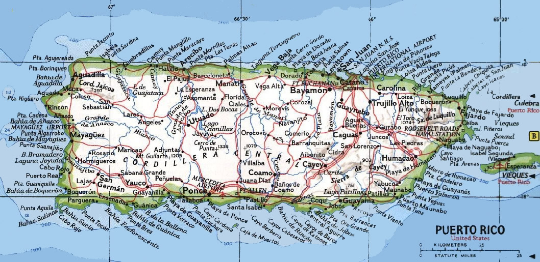
2. This route map represents two modes: ‘Bicycle’ and ‘Touring’. Use the ‘+’ button on the map to switch between them.
Railway and landscape maps of the island of Vieques and surroundings
This Vieques Island map has two modes: ‘Railway Network’ and ‘Landscape Map’. Use the ‘+’ button on the map to navigate.
Puerto Rico – national travel
The main airport of our country is located six kilometers from San Juan. Since 1985, he has been named after the first democratically elected governor of the island, Luis Munoz Marin. Aircraft belonging to 50 airlines take off and land on two runways. These include Seaborne Airlines, JetBlue, Frontier Airlines, Air Sunshine, Cape Air, Cape Air, Silver Airways. Priority destinations are flights on domestic routes and to cities in the United States. In addition, a connection has been established between San Juan and Canada, Madrid, London, and Frankfurt. You can fly to North and South America on a charter flight.
… Open
Nature and parks Puerto Rico
The Bahía de Hobos Research Nature Reserve is more than a thousand hectares of swamps, forests and lagoons. Here, in a natural environment, American manatees, brown pelicans and other species of animals that are on the verge of extinction live under strict protection and protection. From Monday to Saturday, the reserve can be visited with a tour guide who will take tourists to the most interesting and safe places and tell you about the ecology, plants and animals of the reserve in a fascinating way.
… Open
Vieques Island Photo Gallery
Vieques Guide
Vieques Island Attractions
Hombre de Puerto Ferro is an archaeological site in the southern part of the island, located 2 km northeast of the Balneario San Bay. This area is a small clearing with granite boulders arranged in a chaotic manner. The oldest burial place was also found here – the found skeleton of a man is about four thousand years old! According to research, the found skeleton belonged to a representative of … Open
Interactive maps of neighbors of Vieques Island
Charlotte Amalie Map
The city also has several wonderful parks. Emancipation Garden is considered the most beautiful. This park was founded in the colonial period, now it is surrounded by an abundance of trees and tropical plants. There are benches and gazebos everywhere in the park. During the walk you can see many symbolic monuments. It will be nice to relax in a shady park on a hot day, next to it … Open »
Map of Tortola Island
Also of interest will be trips to the uninhabited Scrub and the sparsely populated Jost Van Dyke, home to many migratory birds and dolphins. In the capital of Tortola, you can ride a dolphin at the Dolphin Discovery Tortola. Here you will have a chance not only to swim with these smartest mammals, but also to feed them. Once a day, a colorful performance with the participation of dolphins takes place. Please note that here … Open »
Ponce Map
There are bars in Ponce that attract visitors with a unique setting. These bars include Taska-Gau, which is one of the oldest in the city and has a unique design in the style of past years. The bar has a huge collection of different varieties of rum, the bottles of which are placed in beautiful old display cases. This bar is quite large and has a stage where … Open »
Simpson Bay Map
Nature lovers will be interested in visiting The Butterfly Farm nature reserve located near the resort. Its visitors can see rare species of butterflies that are harvested in the local rainforests. Here, excellent conditions have been created for them, as close as possible to natural ones. In the natural park, you can take a lot of spectacular photos. Butterfly Farm’s main visitors … Open »
OrangeSmile.com is a provider of convenient and reliable online car and hotel booking solutions. We offer over 15,000 destinations with 25,000 rental locations and 500,000 hotels worldwide.
Secure connection
Head office
Weegschaalstraat 3, Eindhoven
5632 CW, The Netherlands
+31 40 40 150 44
User agreement (Terms of Service) |
Privacy Policy |
About company
Copyright © 2002 –
OrangeSmile Tours B.V. | OrangeSmile.com | Under the control of IVRA Holding B.V. – Registered with the Netherlands Chamber of Commerce: Kamer van Koophandel (KvK), The Netherlands No. 17237018
Map of the island of Vieques
Maps of countries and cities of the world |